The Rail Corridor South Guide
The Rail Corridor in Singapore, a former railway line that covers 24 km from Kranji to Tanjong Pagar, is a historical gem you should not miss. The long flat walk weaves through history and nature, making it a nice escape from the concrete jungle.
You can enter and leave the track at any point, with public transportation just a short walk away. It isn’t tough or crowded like MacRitchie or Bukit Timah Nature Reserve, but you still get to enjoy your dose of nature.
In this blog post, we’ll go on an adventure along the bottom half of the track, starting from the historic Bukit Timah Railway Station towards the Tanjong Pagar Railway Station. As of this writing, the stretch from Spooner Road to Tanjong Pagar is closed for construction until 2026. For now, we’ll go as far as we possibly can.
I visited the Rail Corridor South in May 2023. This post may be updated periodically.
Brief History of the Rail Corridor
Singapore used to have trains for commuting between the Malay Peninsula and Singapore at the beginning of the 20th century. But discussion for the railway line goes back earlier to the 1860s. The British wanted a railway connecting the port in Singapore with the other regions of Southeast Asia.
And so, the railway line was constructed. But under colonial rule, the railway land in Singapore was leased to the Malaysian Government at the start of the 20th century for 999 years. This remained so after separation in 1965. The rail line continued operations under Malaysia’s main rail operator Keretapi Tanah Melayu Berhad (KTMB), until 1990 when both countries initiated discussions on land ownership.
Numerous discussions fell until 2010 – two decades later! – when the Malaysian Government finally agreed to terms. Singapore, being Singapore, quickly dismantled all the hardware and returned them to Malaysia. While the railway land was opened to public access in 2012, it was mostly underdeveloped in amenities, infrastructure and connection. The footpaths were bushwalks. Juxtapose this with the location of the railway line that cuts across prime zones of Singapore, and you’ll find it incredible.

It took less than a decade to convert the forgotten land into green spaces for recreational activities and carbon-free commuting.
Interested in doing a round island walk around Singapore? I’ve done mine and written about it here.
Getting to Bukit Timah Railway Station
The midpoint of the Railway Corridor is the Bukit Timah Railway Station. You could walk north to Kranji or south to Tanjong Pagar, and the distance would be about the same at 12 km.
To get there, take the MRT to King Albert Park MRT Station on the Blue Downtown Line. Turn left once you’re at Exit A. Continue down the sheltered path leading from the Exit to the Rail Corridor.
If travelling via the bus, the nearest bus station (ID: 42051) is outside King Albert Park MRT Station along Bukit Timah Road.
There isn’t any car park around the station. Plus public transportation is so easy and convenient! So ditch the car.
Landmarks Along the Rail Corridor South
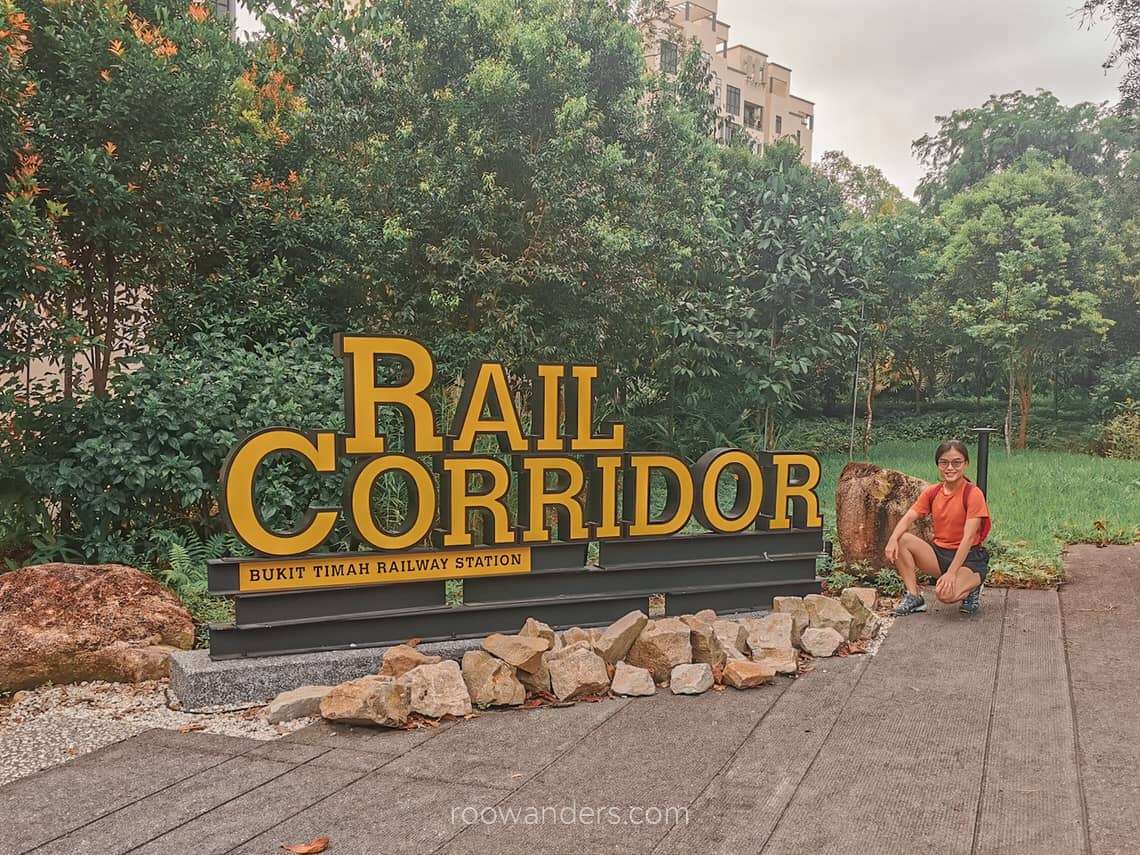
Bukit Timah Railway Station
There’s plenty to explore at the Bukit Timah Railway Station, which was recently reopened in July 2022, following two years of upgrading and improvement work.
There are three sections to take note of:
- The Railway station – ticket booth, track switching levers
- The tracks
- The staff quarters
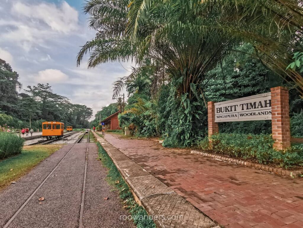
Check out Jerome Lim’s blog for the old photos of the station. One of them is here for comparison to my recent photo. The tracks and station building is largely intact, and I had a good time wandering around the smallish building.

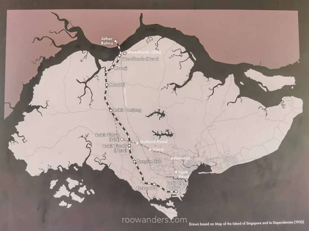
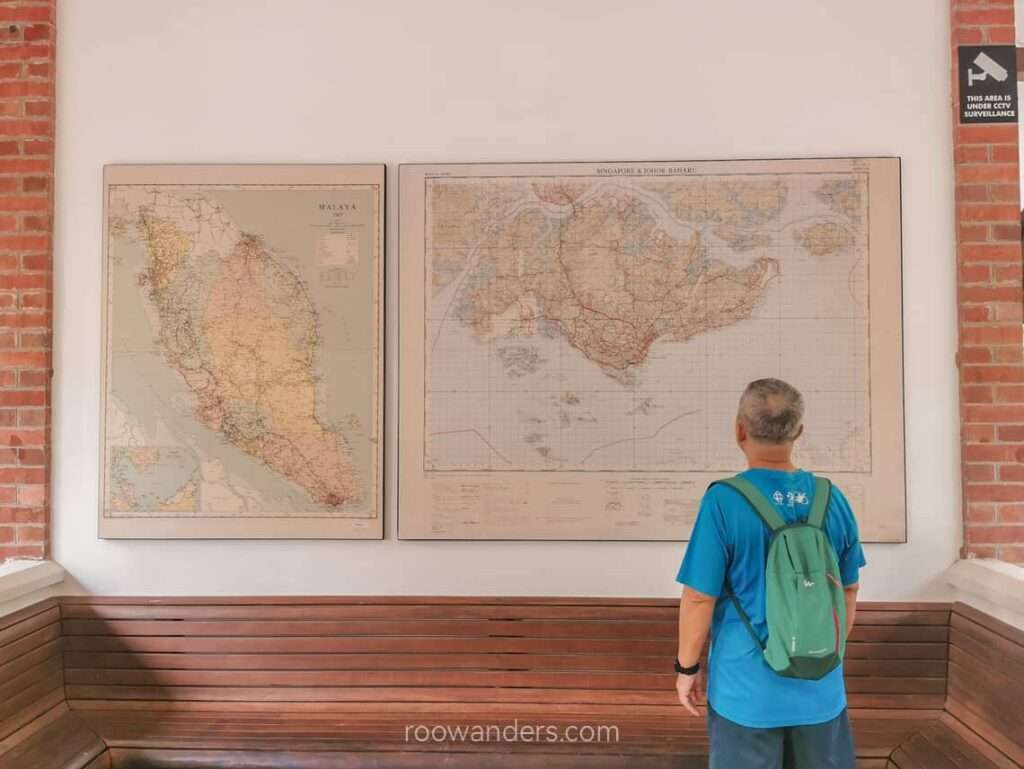
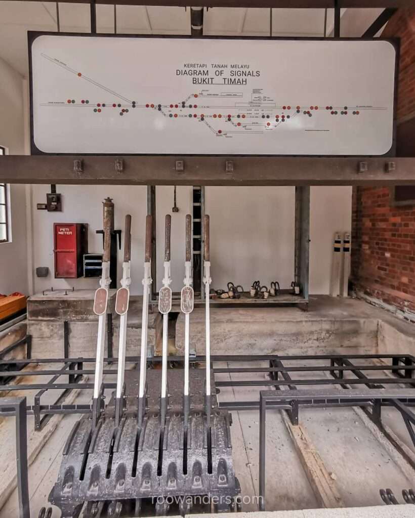
Make sure you check out the track-switching levers and a ticketing booth, now blocked by a board. The lever room at the leftmost side of the building is barricaded. There are also two blown-up diagrams of maps – one of old Singapore and another including the peninsula Malaysia.
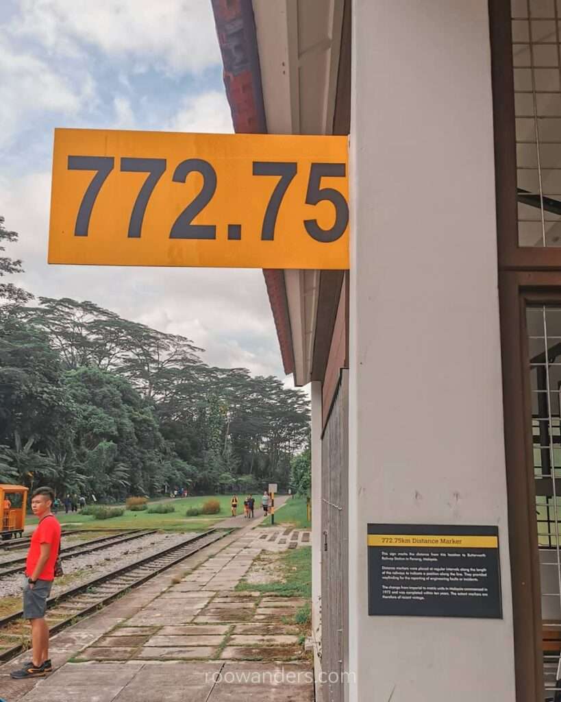
A yellow sign jutting out from one of the walls revealed an interesting tidbit: The distance marker indicates that we are 772.75 km from the Butterworth Railway Station in Penang, Malaysia.
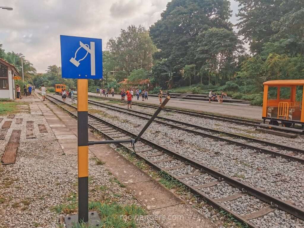
Snap some photos with the garish yellow – are they really replicas? – railway station wagons. Take note of the token pole at the end of the station meant to help drivers know that the single-track line is clear to proceed.
I did not visit the Staff Quarters, which has now been repurposed into a cafe. The Quarters features a small garden and a few wandering fowls.

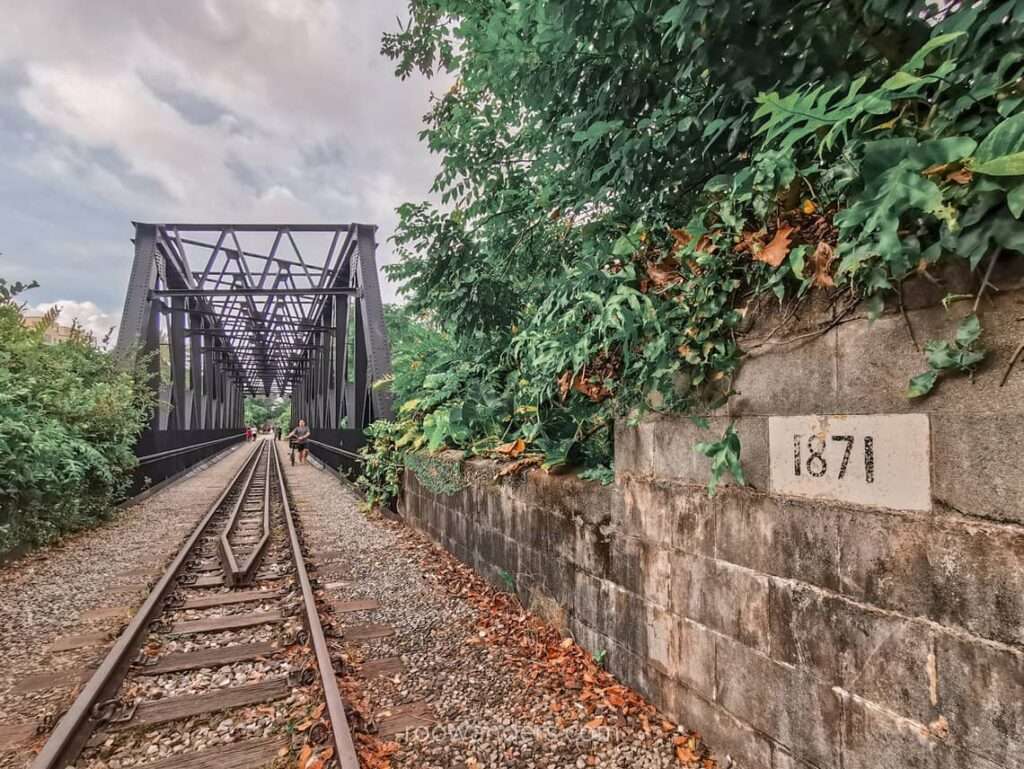
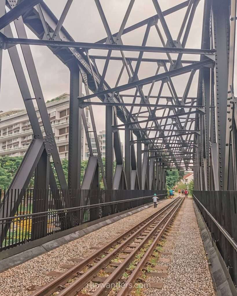
Bukit Timah Truss Bridge
Before you jump in and explore the Bukit Timah Railway Station, spare some time to marvel at the Truss Bridge right next to the station’s entrance.
According to a numbered plaque plastered onto one end of the bridge, this bridge was probably built in 1871.
Before getting there, I had no idea what truss meant. If that’s you too, know that it is an architectural term to describe the assembly of several elements to make a rigid structure. And if you are that engrossed, here’s a website describing truss bridges.
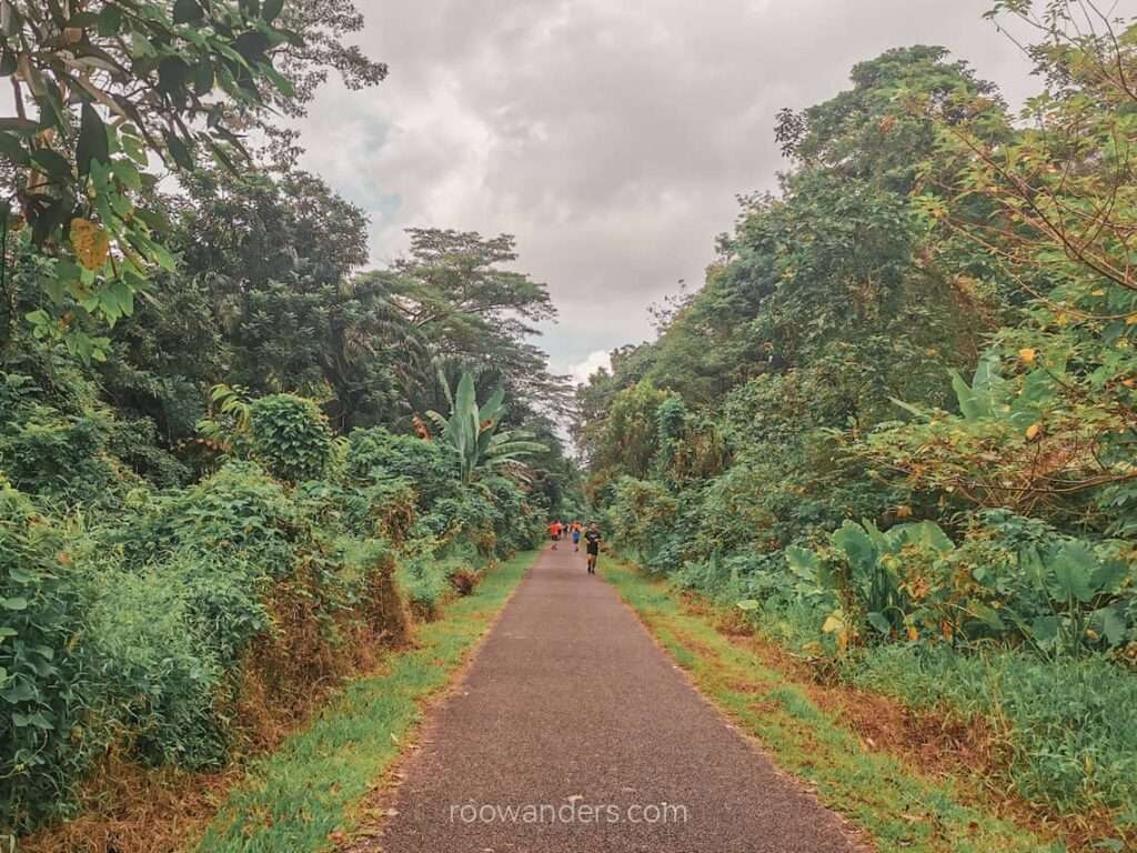
Clementi Forest
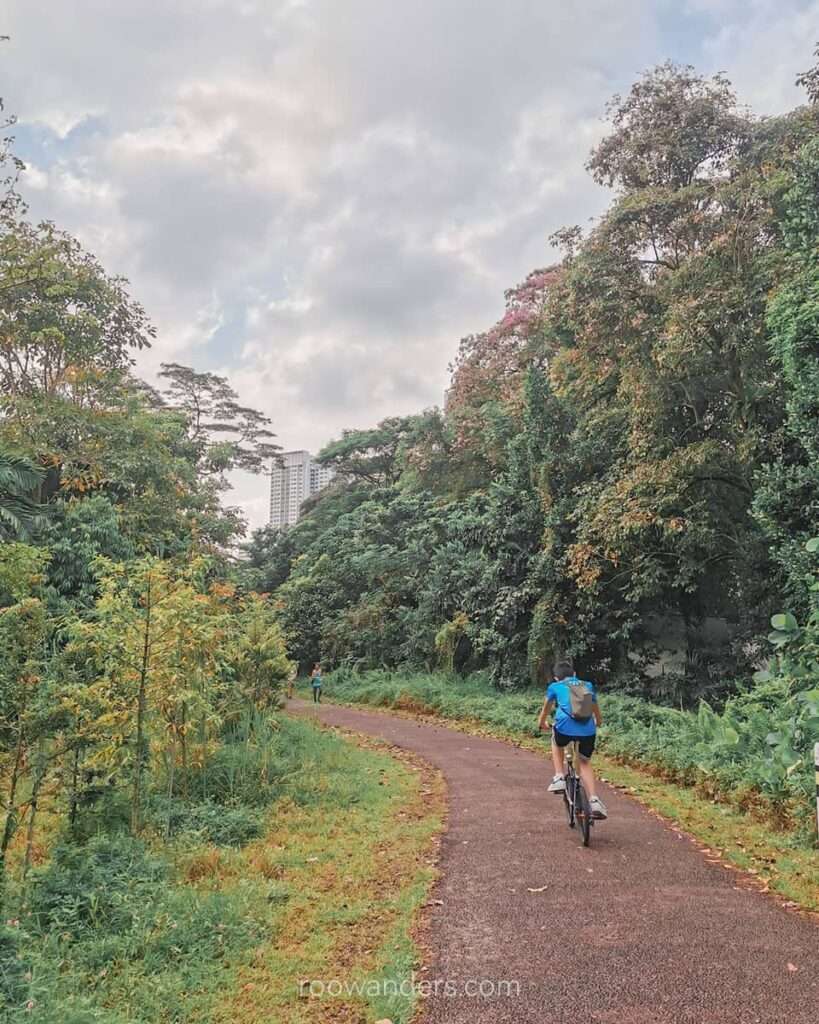
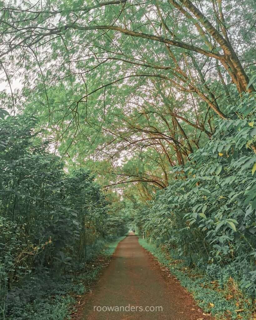
Following the maroon pathway from the Bukit Timah Railway Station, the trail enters the Clementi Forest. This section is by far the best part of the Railway Corridor South with its ample towering green foliage and cacophony of bird tunes. It can also be very busy on a Saturday morning with runners, bikers and walkers like us. This track is dog-friendly.
A supposedly most scenic part of this section of the forest – Bukit Timah Diversion Canal – is blocked for further construction. Hopefully, the large, green open field and man-made waterfall are still around and relatively unspoilt when the ugly barricades are out.
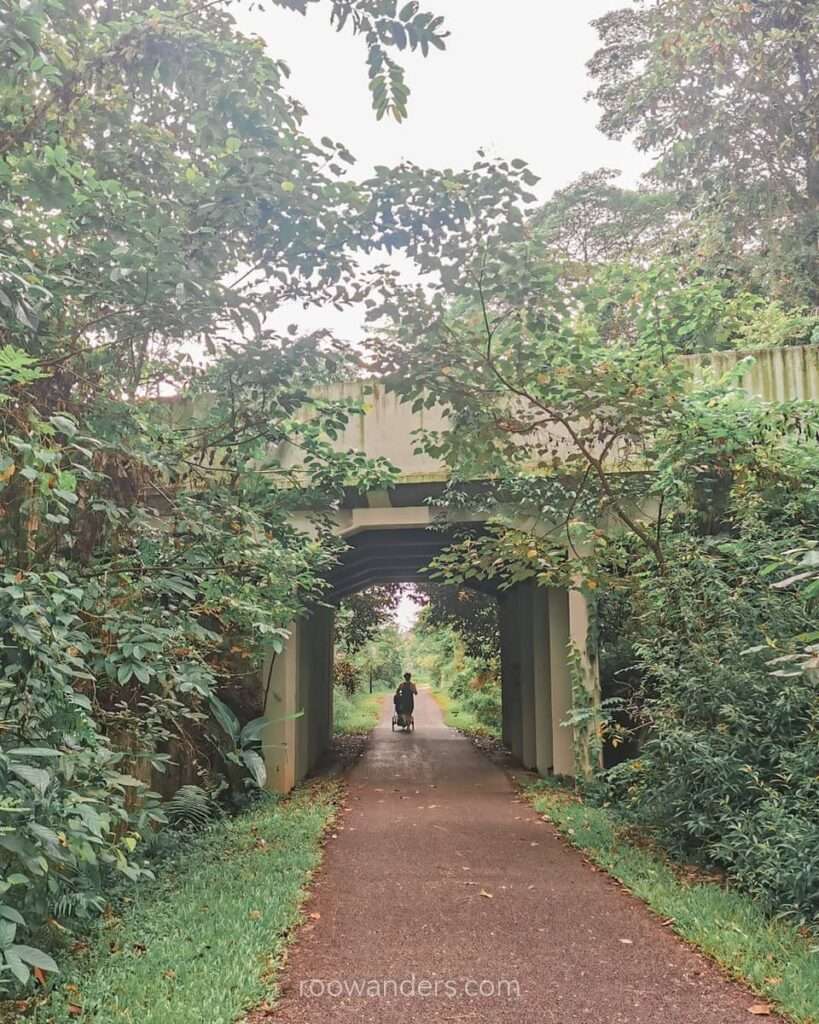
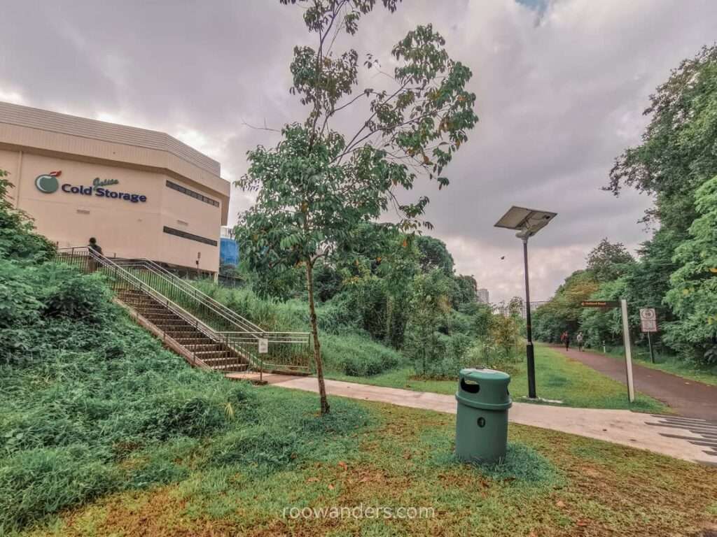
Cold Storage Jelita
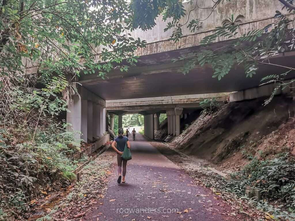
The trail exits the forest and slowly eases back into civilization. You’ll notice landed properties on the left after exiting the first tunnel that carries Holland Road. More condos surface on the right after exiting another longer tunnel/ flyover of Holland Road.
The large white building with Cold Storage Jelita etched over its top is where you could grab some noms, look for toilets, or call it a day.
Continue down the maroon trail with the towering Ghim Moh HDB growing in the background. Pass that and you’ll soon find yourself nearing the Buona Vista area. That section of the walk was still decently beautiful when I was there as it was bloom time for the Trumpet Trees.
Buona Vista, Commonwealth and Alexandra
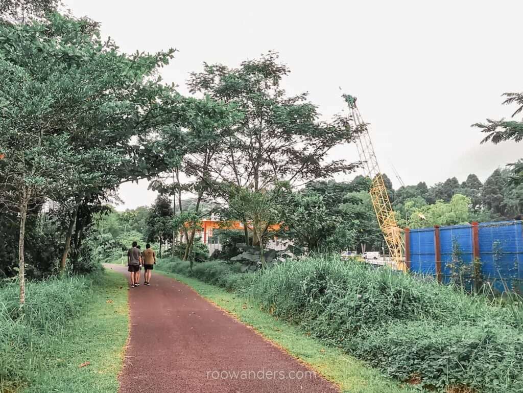
Expect lots of construction work for this stretch through Buona Vista. The trail passes the science and techno hub of Biopolis with familiar company names like JTC and P&G glowing overhead. The trail then hits another long tunnel/ flyover of Queensway Road and goes back to mingle amongst the trees.
This stretch from the tunnel to the noisy AYE was relatively enjoyable as the decibels from construction work dropped. You could grab some water from the water point at Masjid Hang Jebat before hitting the road again.
If you’re hungry, Alexandra Village Food Centre is nearby. Or you could head over to Alexandra IKEA.
AYE and the Exit
We were adamant about completing the route despite the hot sun, noisy AYE and the flat and uninspiring road. The trail has easy exits throughout its entirety, but we pushed on till the end with the defunct yellow KTM building as the final landmark.
More construction work was underway over the next 1 km until Tanjong Pagar Terminal on a new MRT station.
Leave the corridor for Kampong Bahru Bus Terminal. If you still have some energy in you, walk over to Chinatown for food.
Ending
Would I do this again? Absolutely not after the Clementi Forest. This trail is bicycle friendly, so getting a bike to ride its entirety might be the better choice and faster way to get over the AYE section.
The Rail Corridor, however, brought my attention to the Clementi Forest. I’m sure I’ll be back soon to explore the trails there.
As of this writing, the last section of Rail Corridor South Trail to its actual end at Tanjong Pagar Railway Station is out of bounds. There’s no way to cut across it with the ongoing heavy construction for the new MRT Station – Cantonment, named after the nearby lodgings formerly assigned to troops. The trail should be up by 2026. By then, the circle line would be a full circle.
Tips
- Bring enough hydration
- Use sun protection
- Commute via public transportation
- Start early, preferably before 7.30 am
- Insect repellant
- Any shoes work fine. I would have liked to wear my jandals.


You May Also Like

MacRitchie to Bukit Timah: Best Outdoor Training Walk

Bird Paradise: A Strategy to The Visiting
